Frequently asked questions about running in Hamburg
Where are the best places to run in Hamburg?
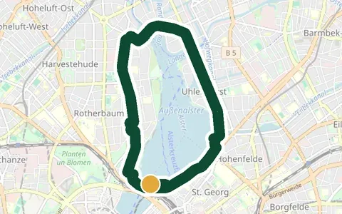
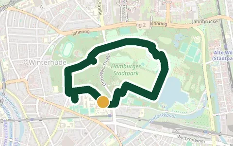
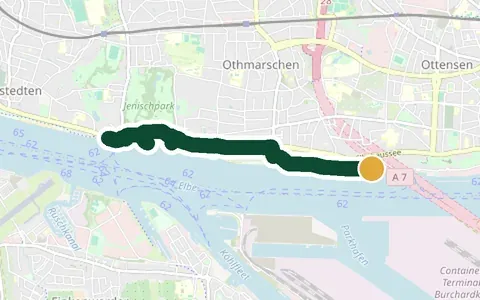
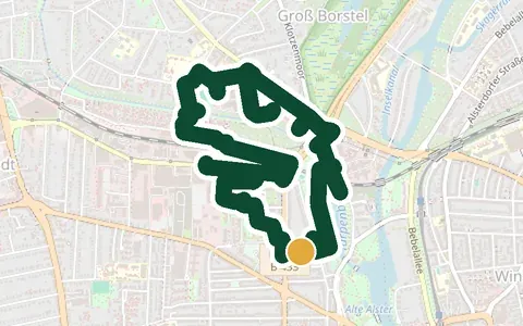
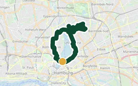
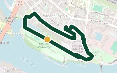
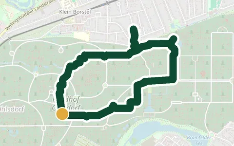
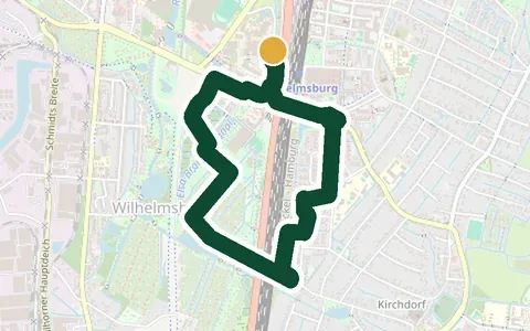
Almost anywhere along the water. The three routes people ask about most are the Außenalster loop (8 km around the lake, no traffic lights, lit after dark), the Elbe beach at Övelgönne (harbour views, sand sections) and the Stadtpark in Winterhude (soft ground, plenty of shade). All 22 routes on this page include a map, a start point and a free GPX file.
What is the best running route around the Alster?
The Außenalster loop. The waterline itself measures 7.4 km; including the bridge approaches our GPX version comes to 8.0 km. It is completely free of traffic lights, lit in the evening and flat throughout — which is why nearly every Hamburg running club uses it. Run counter-clockwise and the city skyline opens up over the last two kilometres.
Are there running routes in Hamburg without traffic lights?
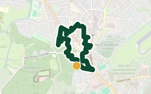
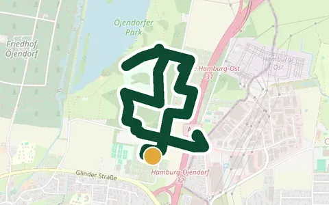
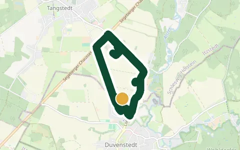
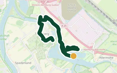
Yes. Use the "no traffic lights" filter above to see them: the Außenalster, Öjendorfer See, the Dove-Elbe regatta course and the forest loops in Niendorf and Duvenstedt all run without a single crossing stop.
Where can I run in Hamburg after dark?
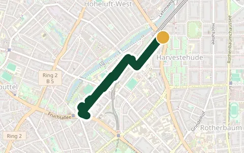
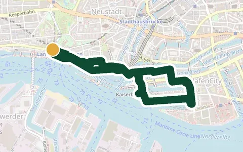
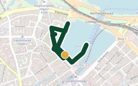
On the lit routes — the "After work, lit" quick pick shows them: Außenalster, Isebekkanal, Binnenalster, the harbour skyline and Wilhelmsburger Inselpark stay well lit and busy after sunset. Bright clothing or a small lamp belongs with it — not to see, but to be seen.
Can I download GPX files for these routes?
Yes, every route has a free GPX download. The same file works in Garmin, Strava, Komoot, Apple Watch, Polar, Suunto and Coros. How to import it is explained further down the page.
Are there hills to train on in Hamburg?
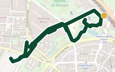
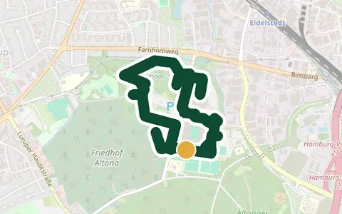
Hamburg is flatter than its reputation, but there are real exceptions: the Harburger Berge with up to 250 metres of elevation, Volkspark Altona, the rolling Wallanlagen in Planten un Blomen and the Elbhang loop with the 126 steps of the Himmelsleiter.
Is there any trail running in Hamburg?
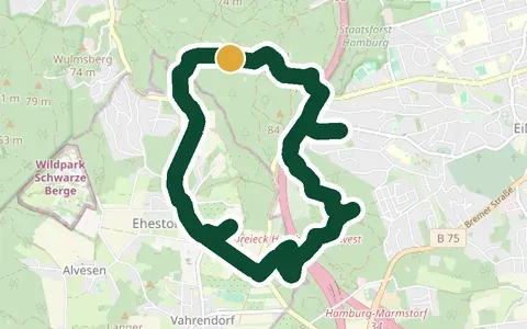
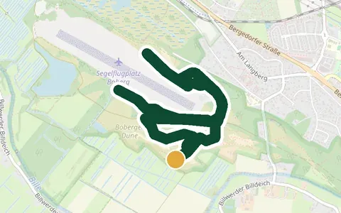
Yes, more than the flat reputation suggests. The Harburger Berge in the south have narrow trails through beech forest and up to 250 metres of climbing, the Boberger Dünen are genuine sand dunes with heathland, and Niendorfer Gehege, Duvenstedter Brook and Volkspark Altona all offer soft forest ground. Use the “soft” surface filter to see them together.
Is there a running track in Hamburg?
If you mean a 400 m athletics track: yes. The Jahnkampfbahn in the Stadtpark is open to the public and free to use, which makes it the practical choice for interval sessions in the inner city — the Stadtpark route on this page starts right next to it. Every other entry here is a road, park or forest route rather than a track.
I am new to Hamburg and do not speak German. Can I still use these routes?
Yes. Place names stay in German on purpose, because that is what the signs and maps say — so you can find them on the ground. Start points, public transport stops and distances are listed for every route. If you would like company or structured training, I coach in English as well.
📅 Looking for a race? The Hamburg running events calendar 2026/27 lists every race with date, distance, entry fee and registration deadline.
🇩🇪 This page in German: Laufstrecken Hamburg – 22 Routen mit Karte & GPX-Download. The rest of this website is in German; these two pages are the English ones.